

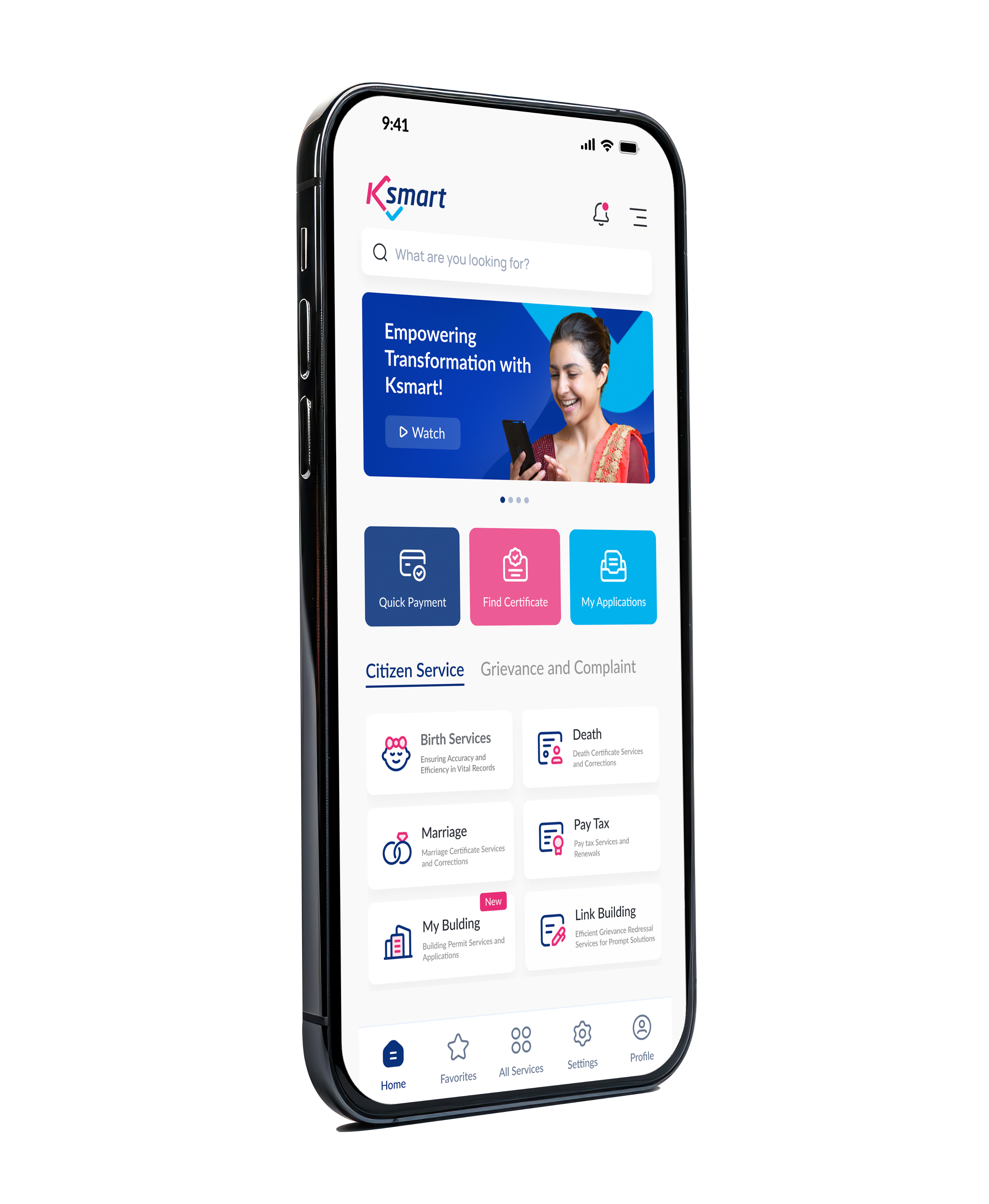
K-SMART - Mobile App
Download Now



Kasaragod is the northernmost district of Kerala, formed on 24 May 1984 after being separated from Kannur district. Strongly influenced by Kannada culture, the district covers an area of 1,992 square kilometres. It comprises six Block Panchayats—Manjeshwaram, Kasaragod, Kanhangad, Nileshwaram, Karadka and Parappa—along with 38 Grama Panchayats, three Municipalities and four Taluks. The District Panchayat has 18 divisions. The region includes highlands, midlands and coastal areas. Bekal Fort, Chandragiri Fort and the Central Plantation Crops Research Institute (CPCRI) are located here. Kasaragod is also renowned for Yakshagana and is popularly known as the “Land of Seven Languages.”

President
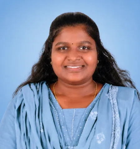
Vice President & Chairperson Standing Committee for Finance
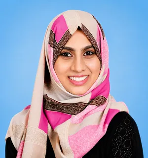
Chairperson, Standing Committee for Development
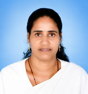
Chairperson, Standing Committee for Welfare
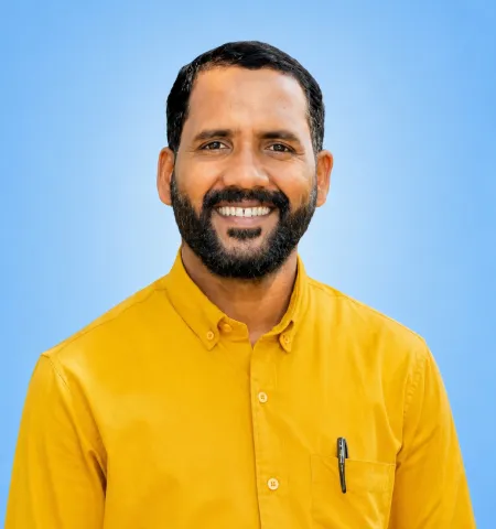
Chairperson, Standing Committee for Health and Education
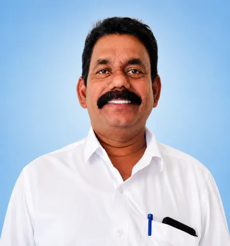
Chairperson, Standing Committee for Public Works
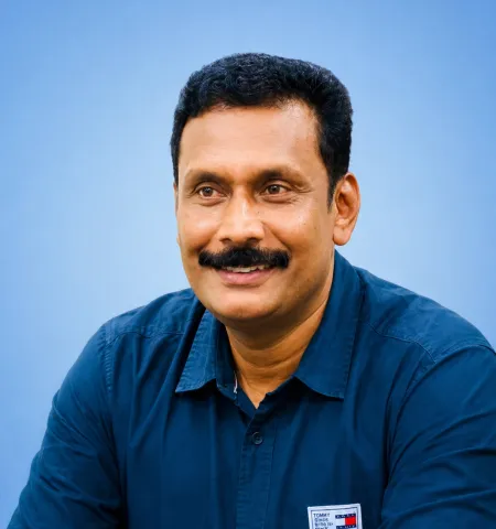
Secretary, District Panchayat
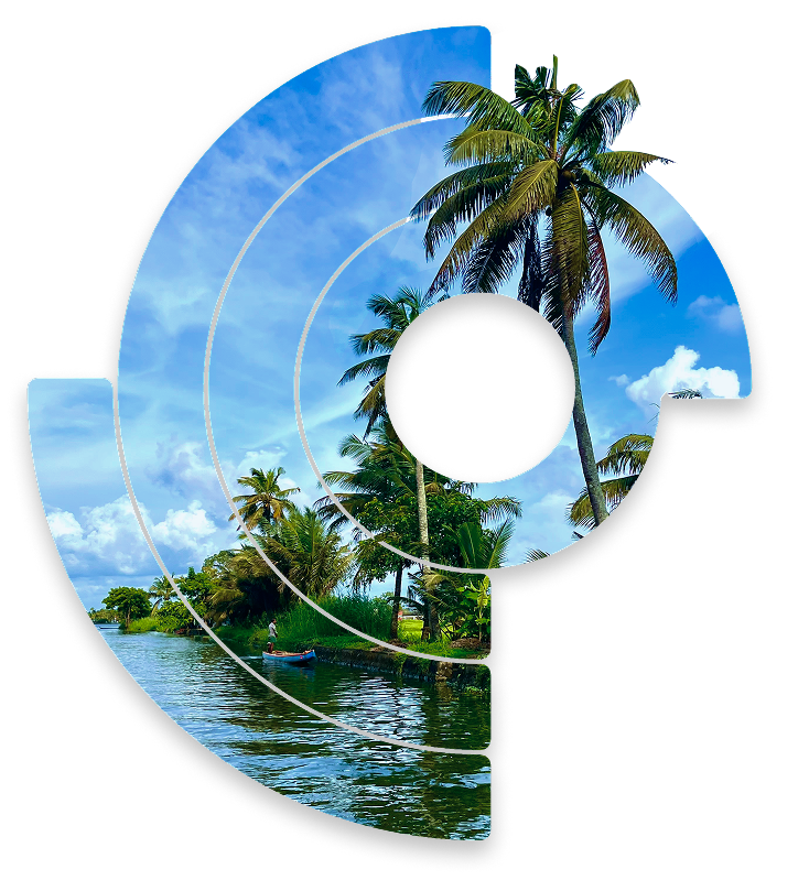
IntroductionKasaragod is the northernmost district of the Indian state of Kerala. It was formed on 24 May 1984 by carving out the northern part of Kannur district. Known for its rich cultural diversity, Kasaragod is home to speakers of Malayalam, Kannada, Tulu, Konkani, Beary, and several other languages, making it one of Kerala's most linguistically diverse districts.Basic InformationDistrict Formed: 24 May 1984Area: 1,992 sq. kmBoundariesSouth: Kannur DistrictNorth: Dakshina Kannada District, KarnatakaEast: Kodagu and Dakshina Kannada DistrictsWest: Arabian SeaAdministrative DivisionsTaluks: 4 (Vellarikundu, Hosdurg, Kasaragod, Manjeshwaram)Revenue Villages: 128Local Self-Government InstitutionsDistrict Panchayat – 1Block Panchayats – 6Grama Panchayats – 38Municipalities – 3Population (2011 Census)Total: 1,302,600Male: 626,617Female: 675,983Literacy Rate (2011 Census)Overall: 89.95%Male: 93.93%Female: 86.13%Legislative RepresentationAssembly Constituencies: 5Parliamentary...
Download Now


